Sonar mosaic

Sonar mosaics are maps showing the seafloor acoustic reflectivity. We obtain black and white pictures which highlight the seafloor heterogeneity. These maps are mainly used for sedimentology, mapping seagrass meadows, mapping rocky habitats, the search of submerged objects and the search of wrecks.
Data are collected by using the acoustic level reflected by an acoustic impluse (while the sounder uses the duration of the impulse return. In order to obtain contrasted pictures it is compulsory to have a high "rasance" for acoustic waves. Thus, the sonar has to be relatively close to the bottom (10 % of its range). For common sonar, the altitude must range between 10 and 20 m above the seafloor.

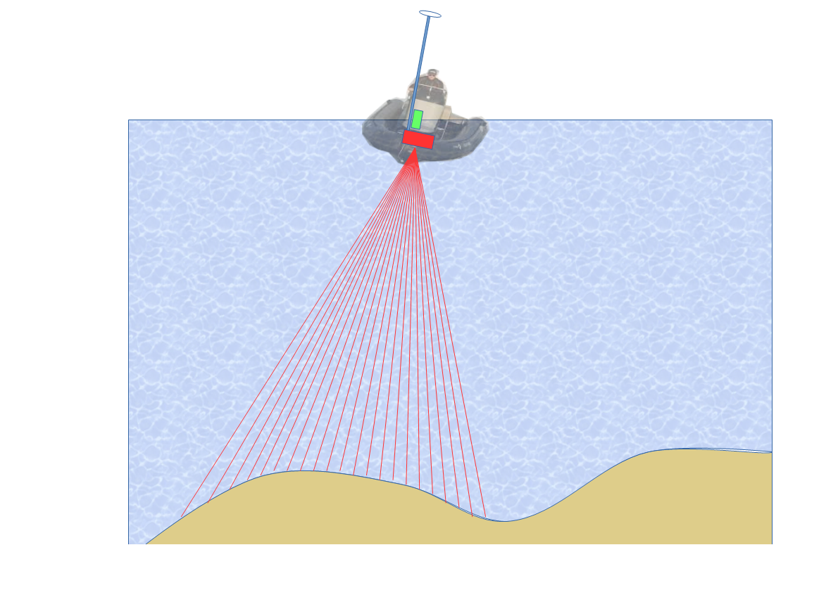
For shallow sonar acquisition we can use the multibeam echo sounder data (fixed on the ship's hull). In this case their is a double benefit since bathymetric maps can be generated simultaneously and the positioning precision is optimal, the sonar being interdependent of the GPS and the inertial navigation unit.

When studying a deeper seafloor, it becomes compulsory to use a towed device (called "fish"). The cable length is adapted in a way of obtaining the optimal altitude for the fish.
To avoid artefacts damaging images' interpretation, we use sequences at which the sonar navigates at a constant speed following a straight path. After positioning (GPS), cable length and fish depth corrections we obtain georeferenced sonar strips. The different measure sequences are realized following parallel trajectories. Finally, sonar strips are merged to obtain a sonar mosaic.


