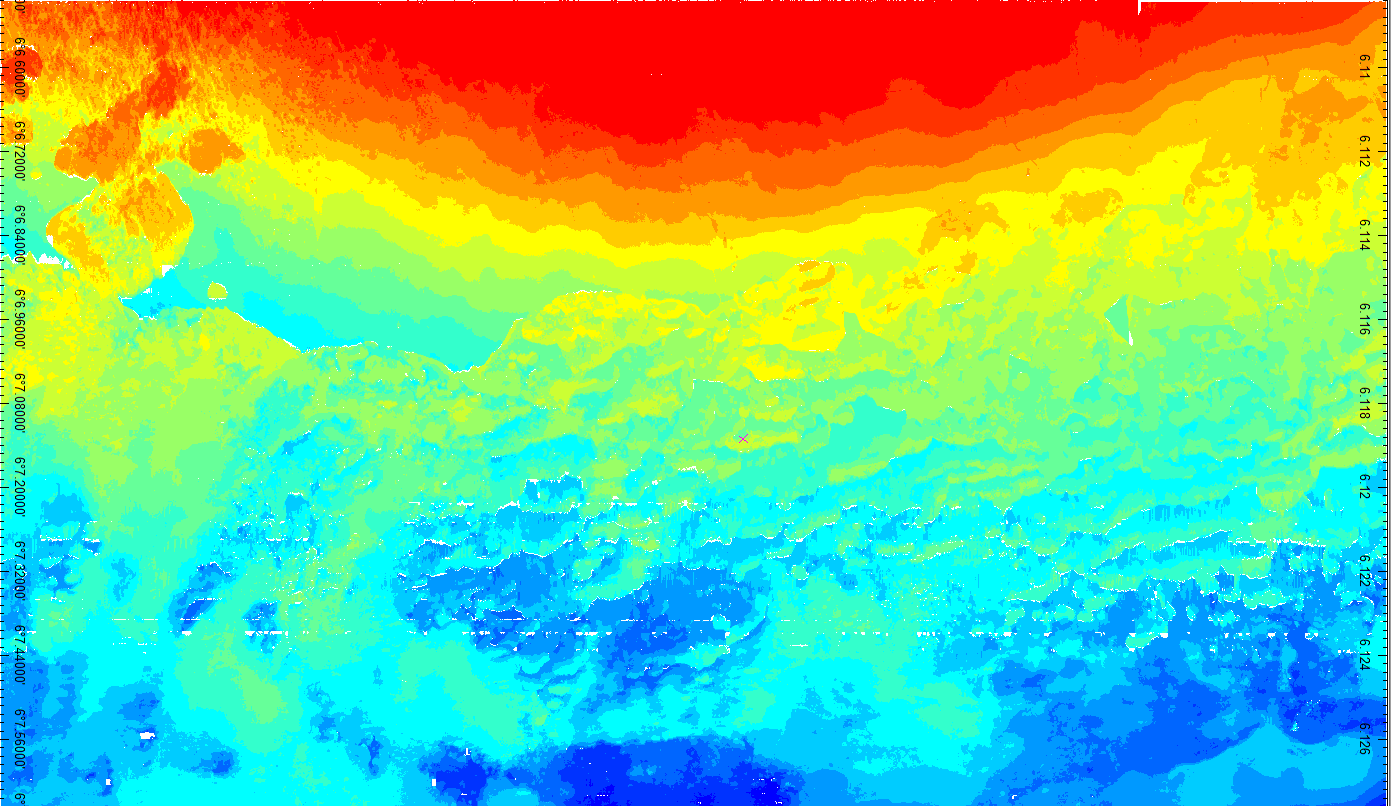
Bathymetric maps: They provide the depth at any location within area studied. They are used most of the time for navigation safety, coastal building and scientific surveys
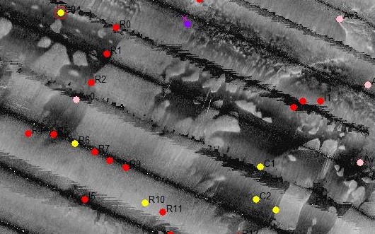
Sonar maps: They are based on the acoustic reflectivity and provide true pictures of the sea floor, they allow to identify submerged objects or to define homogeneous areas. Sonar maps are useful for mine detection, wreck surveys and the mapping of marine habitats
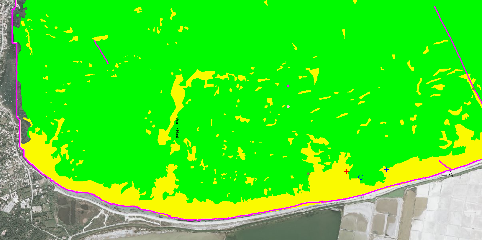
Maps of marine habitats: They indicate seafloor nature and are most of the time built by using bathymetric and sonar maps as well as grund truths. They are essentially used by ecologists and coastal managers
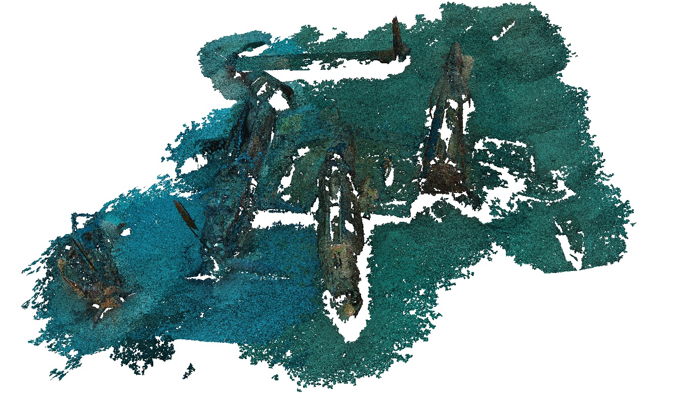
Three dimensional maps: Produced by photogrammetry and used for seascape modelling and the underwater survey coastal marine habitats


