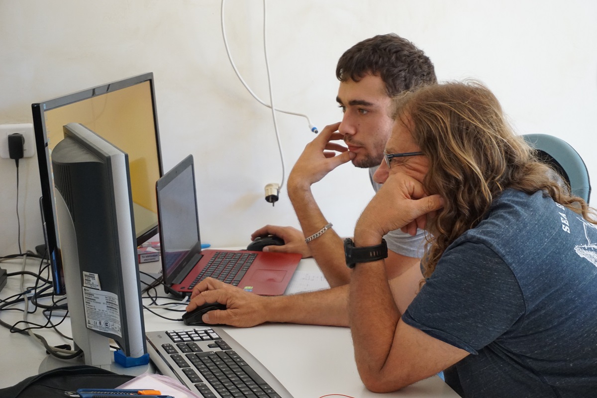
In order to optimize the acoustic data sampling and treatment, we offer software development services like for example active trajectography systems and sonar treatment software. We also develop analysis software for multibeam echo-sounder. Finally, we work on specific GIS programming and the development of seafloor classification systems. For more information consult our leaflet about our services concerning software development.
To tackle the very specific requirements and the various types of applications of seafloor mapping, Seaviews developed its own software suite allowing to visualize, treat and analyse cartographic data. These suite is composed of three items:
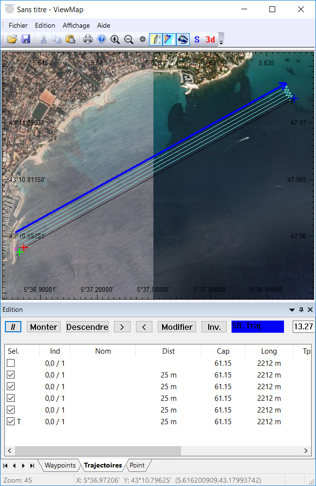
ViewMap Acq a GIS for geospatial data acquisition
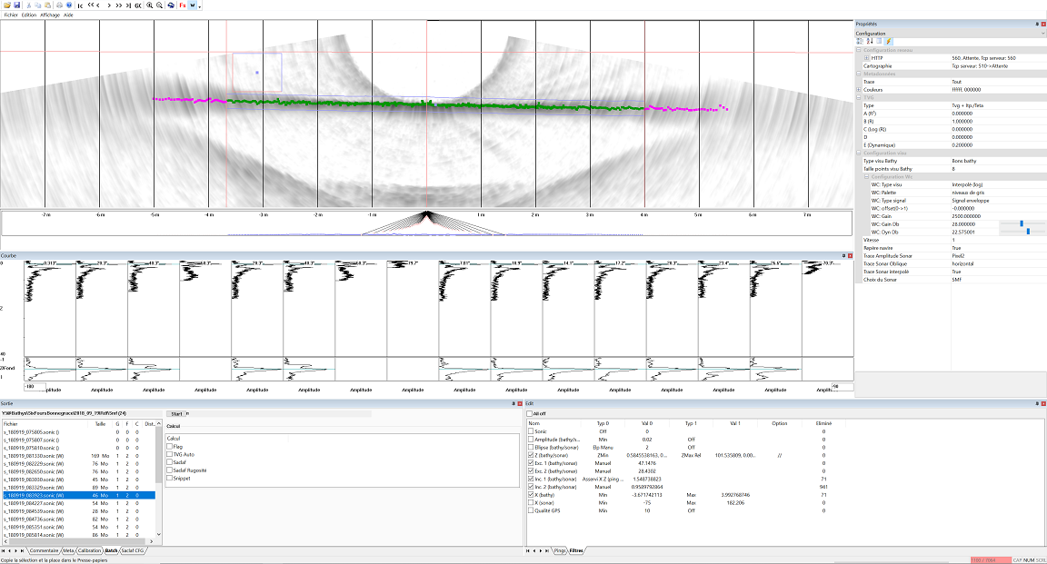
ViewSMF for acquisition, treatment and computing of multibeam echo sounder data
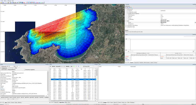
ViewMap Point a GIS for data edition
ViewMap Acq
Acquisition planning: trajectories, sampling points
Real time guide for data acquisition: digital compass, link with the ship autopilot for precise trajectories
Real time display of celerity data
ViewSMF
Real time display of acoustic data acquisition: bathymetry, backscatter imagery, display of acquisition parameters
Data visualization: bathymetric soundings, backscatter images, water column data, impulse response along the water column, acquisition metadata
False echoes filtering: a full set of filters for a semi-automatic treatment
Data computing: echo integration along the water column, roughness surface index BATCLAS, index of acoustic biomass within the water column
ViewMap Point
Visualization of cartographic data: vectorial and raster datasets, tile images
Segmentation tools: manual and automated tools depending of the data used
Cartographic products: coloured digital elevation models, isobathymetric lines, depth soundings, backscatter images, georeferenced underwater orthophotographs from photogrammetry, classification of marine habitats, biomass accumulation maps


